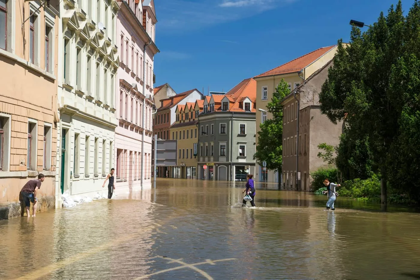

Retention and use of stormwater directly at the point of impact is a task that many municipalities and cities are addressing as part of climate change adaptation measures. Modelling surface runoff from rainfall provides us with information on water flow paths over the surface.
How we work with stormwater
Modelling surface runoff from rainfall provides us with information on water flow paths over the surface. It enables us to design measures in variants and to verify the effectiveness of the proposed measures.
- Modelling of surface runoff from rainfall
- Identification of surface flow paths
- Design of measures in variants
- Verification of the effectiveness of proposed measures
Background
Why retain water where it falls
During intense rainfall, water from impermeable surfaces concentrates quickly, overloads sewers and can cause local flooding of streets, basements or underpasses. During dry periods, on the other hand, it is missing from the soil and vegetation.
Retaining stormwater at the point of impact – by infiltration, storage or reuse – mitigates both problems. That is why it is one of the basic climate change adaptation measures for towns and cities.
Background
What a surface runoff model shows
A surface runoff model simulates where rainwater flows across the terrain, where it accumulates and which buildings it may threaten. This makes it possible to compare several variants of measures and choose the one with the greatest effect.