
The project is co-financed by the LIFE programme of the European Commission. Views and opinions expressed are however those of the author(s) only and do not necessarily reflect those of the European Union or CINEA. Neither the European Union nor CINEA can be held responsible for them. www.natadapt.sk
Since the beginning of 2026 we have been collecting and processing data and information about the project area.
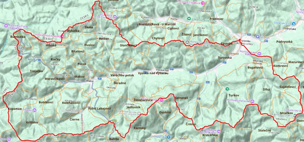
Project area
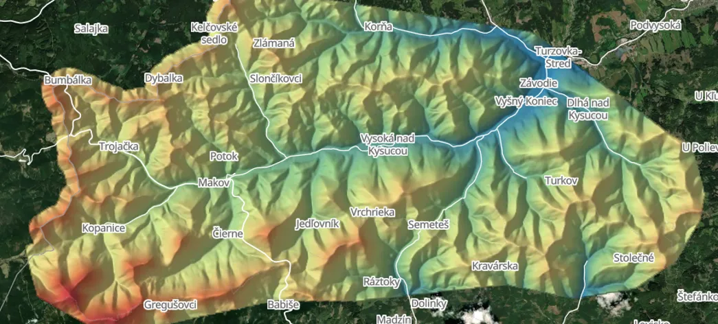
Three pilot river basins were selected in the project: Kysuca, Podlužianka and the Ondava and Trnávka basin.
Our company works on the Kysuca river basin between Makov and Turzovka. The area within the Kysuce Protected Landscape Area was chosen as the model area for implementing the proposed measures. It covers the cadastral areas of:
- MakovKopanice, Kršlisko, Trojačka, Bobíkovci, Koleňákovci, Bumbálka, Riečky, Hlboké, Moravčíkovci, Bitalovci, Čierne, Potok, Vyšní Labajovci
- Vysoká nad KysucouKelčov, Varechov potok, Skala, Dybalka, Huslov, Slončíkovci, Škradné, Jedľovník, Žilinčiarovce, Semeteš
- TurzovkaTurkov, Závodie
- Dlhá nad KysucouMráčkov, Gajdošovci, Dlhá, Bogáňovci
Field data collection
Field survey in the cadastral area of Makov
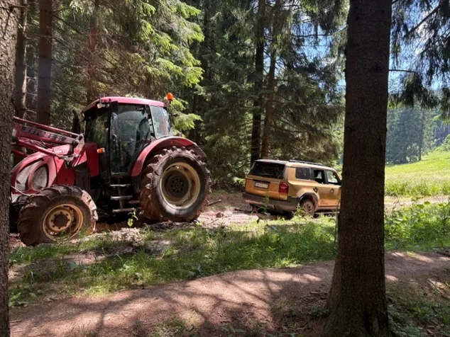
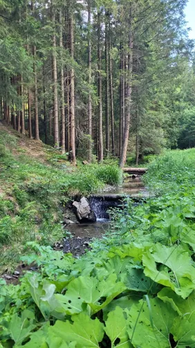
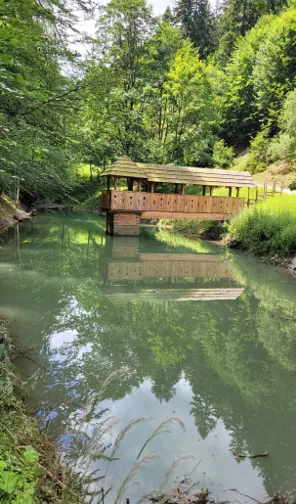
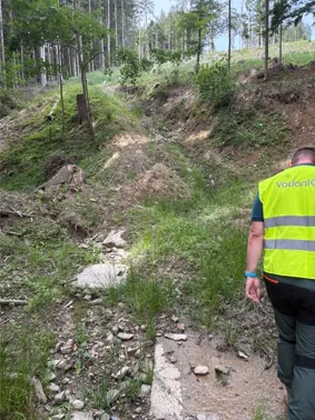
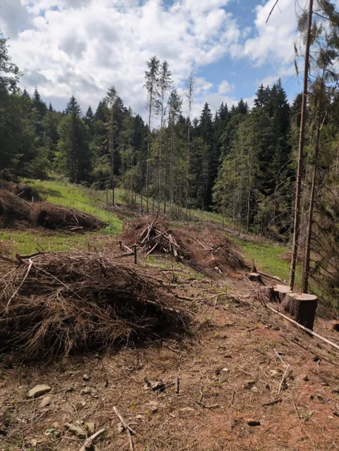
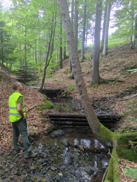
Field survey in the cadastral area of Vysoká nad Kysucou
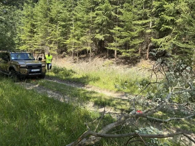
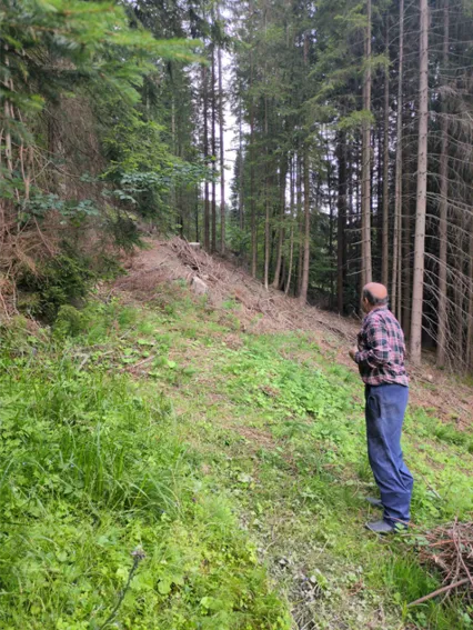
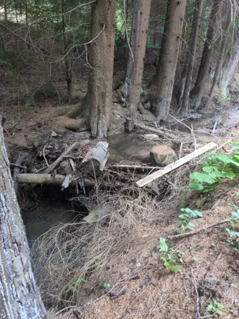
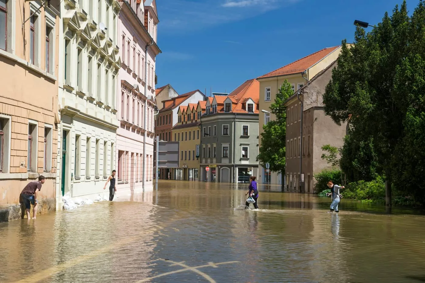
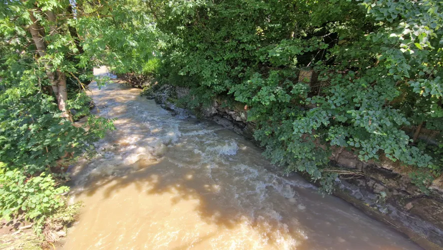
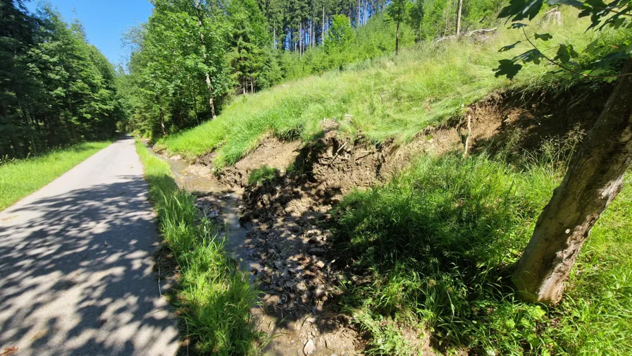
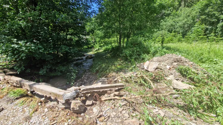
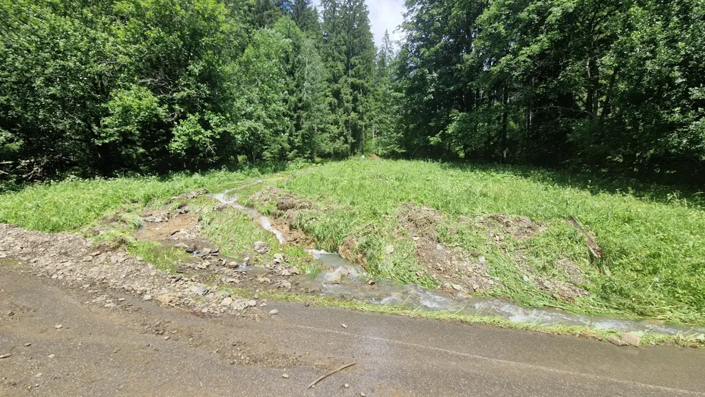
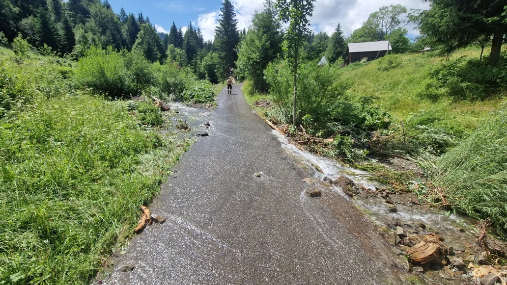
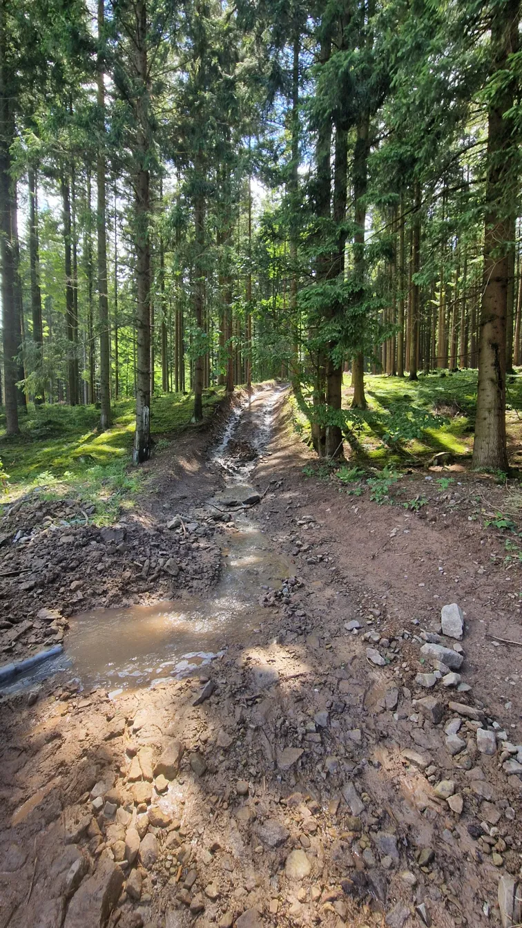
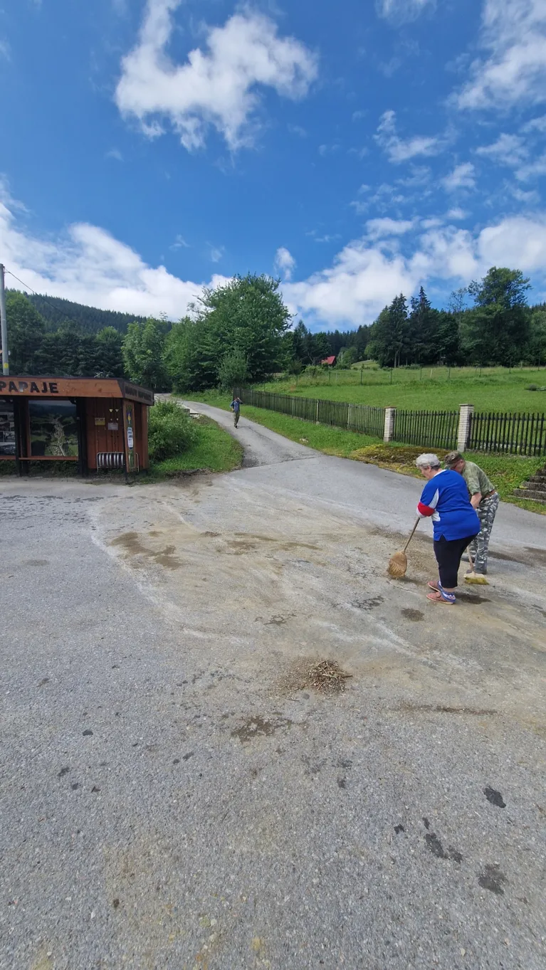
Flood of 1 July 2026
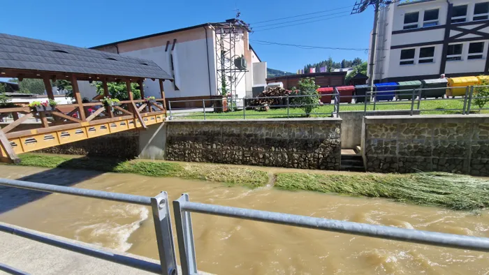
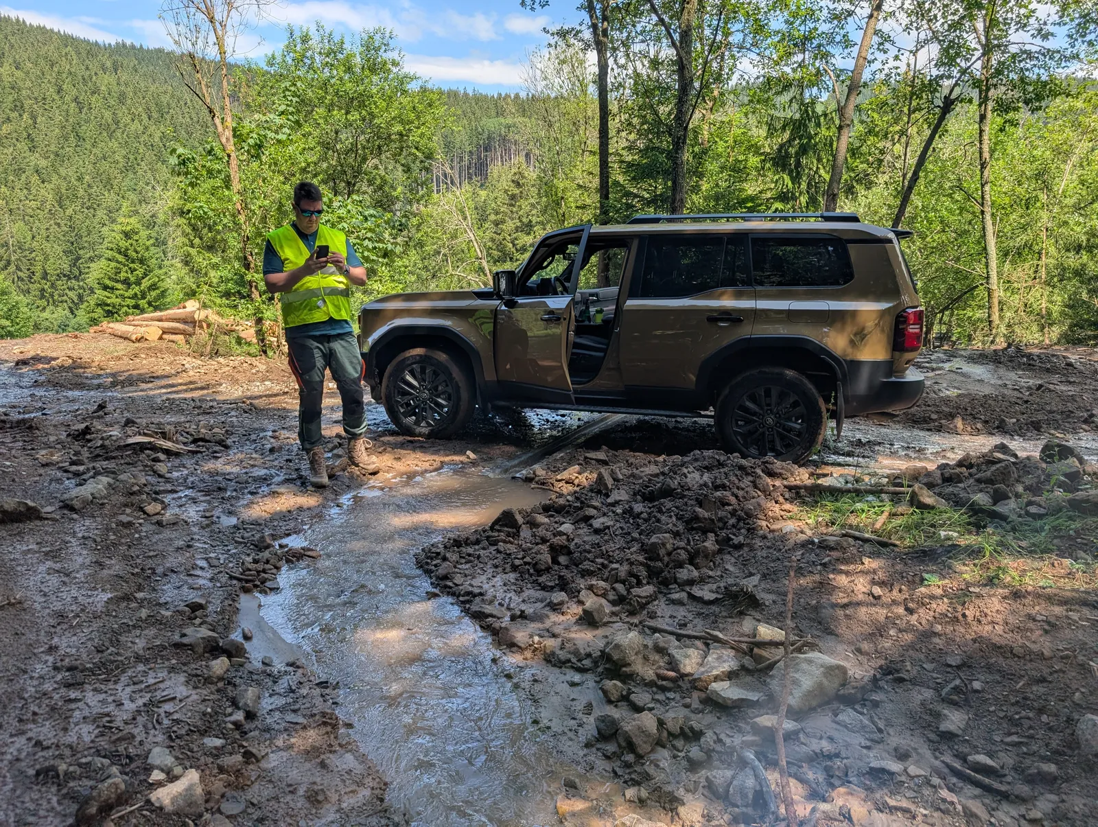
Inspection after the flood – 2 July 2026, Makov
Analysis
Runoff path analysis
Concentrated runoff paths were analysed with SCALGO Live, an application that identifies potentially flooded areas based on a digital terrain model, rainfall totals or a defined water level (rivers, lakes or the sea). The simulations result in runoff paths and flood maps that show where rainwater accumulates on the surface. The results do not describe how a flood develops over time.
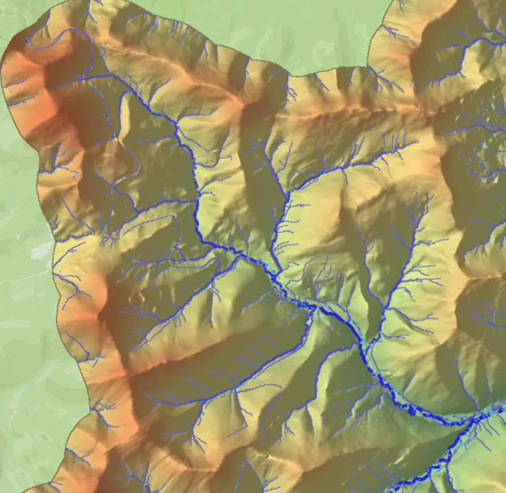
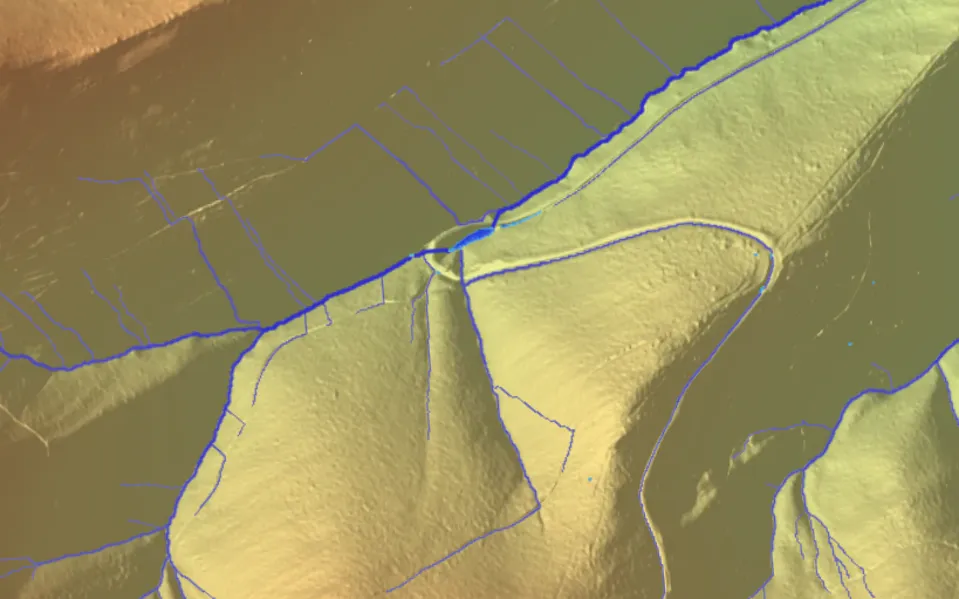
Digital terrain model by ÚGKK SR (DMR5.0)