
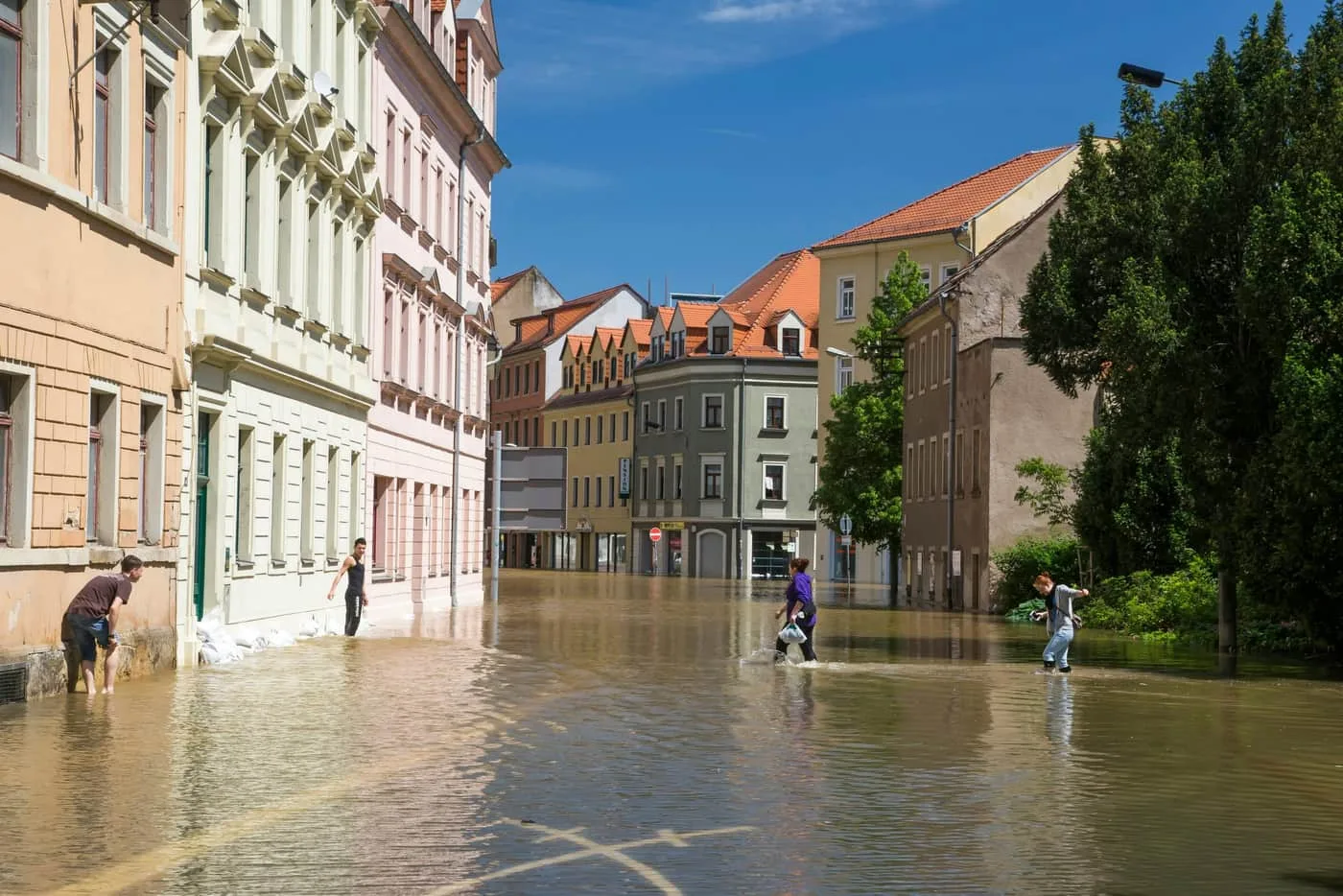
Many cities, municipalities and industrial sites are adjacent to watercourses and are at risk of flooding. To ensure flood protection we prepare hydraulic assessments, produce flood maps and design flood protection measures.
What we prepare for flood protection
Our work helps to ensure flood protection of areas located close to watercourses.
Outputs
- Hydraulic assessments
- Flood maps
- Design of flood protection measures
For
- Cities
- Municipalities
- Industrial sites
Background
Flood maps and how they are used
Flood maps show which area may be inundated by a flood of a given magnitude, often together with water depths or flow velocities. In the European Union, the framework for them is set by Directive 2007/60/EC on the assessment and management of flood risks; in Slovakia by Act No. 7/2010 Coll. on flood protection.
The maps serve as a basis for spatial planning, building design, emergency planning and risk assessment.
Background
Types of flood protection measures
Flood protection usually combines several types of measures. Their effect should be verified by hydraulic calculation before implementation, so that a measure in one place does not worsen the situation elsewhere on the river.
- Structural measures – embankments and flood walls, demountable barriers, channel works
- Nature-based measures – polders, water retention in the landscape, floodplain restoration
- Organisational measures – warning systems and flood plans